Description
Course Duration
📅 5 Days
Target Audience
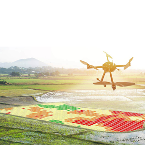
👥 GIS professionals, cartographers, environmental scientists, urban planners, landscape architects, and professionals in infrastructure and development projects.
Course Level
🎓 Intermediate
Course Objectives
By the end of this course, participants will be able to:
✅ Understand key concepts and techniques in 3D terrain modeling.
✅ Work with elevation and topographic data for terrain analysis.
✅ Utilize advanced software tools for 3D terrain visualization.
✅ Apply 3D terrain modeling techniques in various industry applications.
✅ Develop high-quality visual representations of terrain for decision-making.
Modules
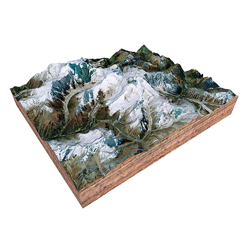
Module 1: Introduction to 3D Terrain Modeling
📌 Fundamentals of 3D terrain modeling
📌 Overview of tools and software for 3D terrain analysis
📌 Key principles and techniques for creating accurate 3D terrain models
📌 Case Study: Exploring 3D terrain models in a real-world scenario
Module 2: Data Acquisition and Preparation
📌 Methods for acquiring topographic and elevation data
📌 Techniques for data cleaning and preparation
📌 Integration of various data sources for terrain modeling
📌 Real-Life Project: Preparing and processing data for 3D terrain modeling
Module 3: Creating and Analyzing 3D Terrain Models
📌 Techniques for generating 3D terrain models from elevation data
📌 Methods for analyzing terrain features and topographic attributes
📌 Visualization techniques for enhancing 3D terrain models
📌 Case Study: Analyzing and interpreting a 3D terrain model for a specific application
Module 4: Advanced Visualization Techniques
📌 Creating realistic and detailed visualizations of 3D terrain models
📌 Techniques for incorporating textures, colors, and other visual elements
📌 Interactive visualization methods for user engagement
📌 Real-Life Project: Developing an advanced 3D terrain visualization for a project
Module 5: Applications and Best Practices
📌 Applying 3D terrain modeling in various industry contexts (e.g., urban planning, environmental monitoring)
📌 Best practices for presenting and communicating 3D terrain models
📌 Addressing common challenges and solutions in 3D terrain modeling
📌 Case Study: Implementing 3D terrain modeling techniques in a real-world project