Description
Introduction
This 5-day intensive training provides hands-on experience with Google Earth Engine (GEE), a powerful cloud-based platform for large-scale geospatial analysis. Participants will learn how to access and process satellite imagery, automate workflows using JavaScript, and apply machine learning techniques for environmental monitoring, land classification, and climate change analysis. Real-world projects and case studies will enhance practical understanding.
Course Duration
📅 5 Days
Target Audience
👥 GIS professionals, environmental scientists, remote sensing specialists, researchers, urban planners, and climate change analysts.
Course Level
🎓 Advanced
Course Objectives
By the end of this course, participants will be able to:
✅ Understand the fundamentals of Google Earth Engine.
✅ Process and analyze large-scale satellite imagery efficiently.
✅ Automate geospatial workflows using JavaScript.
✅ Apply machine learning for land classification and change detection.
✅ Develop real-world geospatial applications for environmental monitoring and urban planning.
Modules
Module 1: Introduction to Google Earth Engine
📌 Overview of Google Earth Engine and its applications
📌 Understanding Earth Engine datasets and data catalog
📌 Navigating the Earth Engine Code Editor
📌 Basic JavaScript programming for Earth Engine
📌 Working with raster and vector data
📌 Case Study: Visualizing global land cover data
Module 2: Image Processing & Analysis in Google Earth Engine
📌 Introduction to satellite imagery and remote sensing principles
📌 Importing and visualizing satellite data (Landsat, Sentinel, MODIS)
📌 Preprocessing imagery: cloud masking, atmospheric correction, mosaicking
📌 Band calculations and spectral indices (NDVI, EVI, etc.)
📌 Temporal analysis and time-series visualization
📌 Real-Life Project: Deforestation trend analysis using Landsat time-series data
Module 3: Advanced Scripting & Data Visualization
📌 Writing custom functions and mapping over image collections
📌 Using reducers for zonal statistics and image reduction
📌 Creating interactive visualizations and charts
📌 Exporting analysis results to Google Drive and other formats
📌 Integrating Google Earth Engine with GIS tools (QGIS, ArcGIS)
📌 Case Study: Monitoring urban expansion with Sentinel-2 data
Module 4: Change Detection & Machine Learning Applications
📌 Techniques for change detection and land cover classification
📌 Introduction to machine learning in Google Earth Engine
📌 Supervised and unsupervised classification methods
📌 Training and applying classifiers (Random Forest, CART)
📌 Accuracy assessment and validation of classification results
📌 Real-Life Project: Land cover classification using machine learning
Module 5: Applications & Case Studies in Google Earth Engine
📌 Applications in climate change analysis
📌 Monitoring water resources and drought assessment
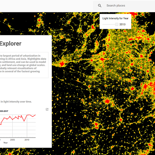
📌 Urban heat island analysis and mitigation strategies
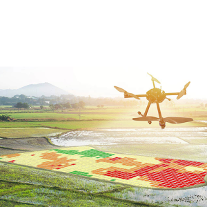
📌 Agricultural applications: crop monitoring and yield estimation
📌 Building custom applications with Earth Engine Apps
📌 Case Study: Developing an environmental monitoring system